catamaran
Semi-private day cruise
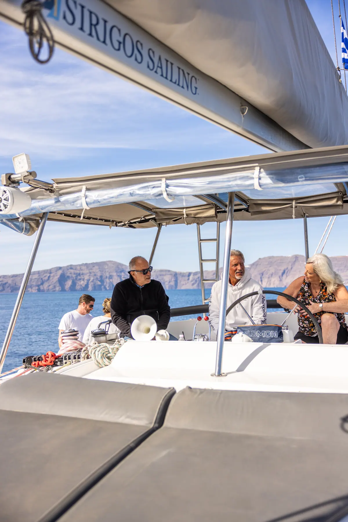
Five hours, a small shared group, €100 each with lunch and transfers.
10:00 - 15:00Shared seats5 h
€100per person
Book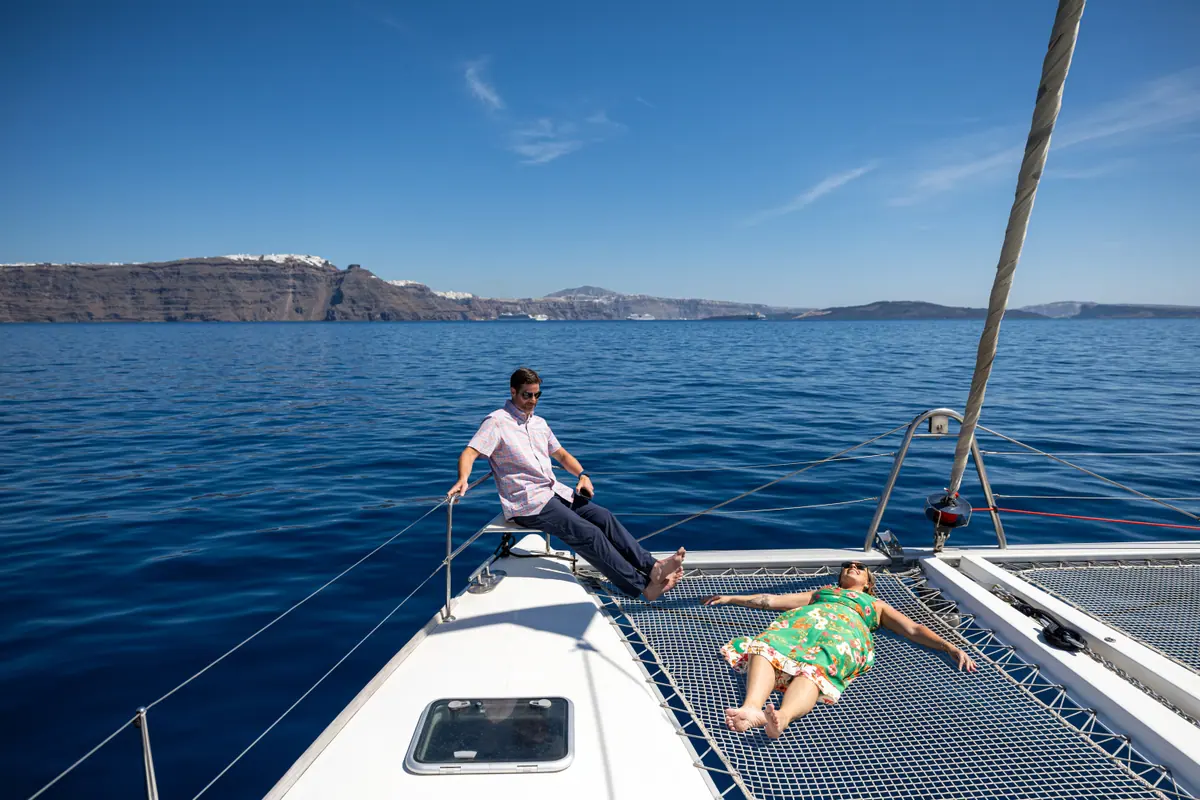
Fifteen stops. Seven you can swim at. None of them has a jetty, which is why every boat in Santorini anchors offshore and you go in from the stern.
€100 per person · 10:00 - 15:00 · Shared seats
Santorini from the sea is a different island. Fifteen stops ring the caldera and the south coast, and most have no road to them. Seven are swimming stops, and the boat anchors offshore at every one, because none has a jetty. Our five-hour loop swims the south coast and the volcano, with the springs when the sea allows.
This is the stop map. Every place below has its own page with what it is, how it formed and what happens when a boat gets there. Start with the map, then use the table to work out which cruise goes where.
The caldera is a flooded volcanic collapse basin, roughly 12 km by 7 km, walled on three sides by cliffs up to about 300 m high. Tap a point to read what is there.
Numbered points are the day-cruise loop, in sailing order. Tap any point for one sentence about it; every point has its own page.
The loop, in sailing order
Also on this coast
The last column is what we normally run. The captain reorders or drops stops for wind and sea state, and that decision is made on the morning.
| Stop | How you reach it | Swim? | On which cruise |
|---|---|---|---|
| Red Beach | By sea, or by a cliff path from Akrotiri that keeps closing after rockfalls | Yes, from the boat | Every catamaran cruise |
| White Beach | By sea only. No road, and the walking route is the same unstable cliff | Yes, from the boat | Every catamaran cruise |
| Mesa Pigadia | By sea, or 4 km from Akrotiri village ending on a rough dirt track | Yes, when the cruise anchors there | Every cruise's quiet-coast leg; the long days anchor |
| Black Mountain | By sea only. The Mavro Vouno cliffs have no vehicle access | No — we pass it | Passed on the south-coast leg |
| Indian Rock | By sea only. It cannot be reached or seen properly by car | No — we pass it | Passed on the south-coast leg |
| Akrotiri lighthouse | By road to the headland, or from the water as you round the corner | No | Every cruise rounds it |
| Aspronisi | By sea only. Uninhabited, with two gravel beaches and a small anchorage | No landing | Seen across the south-west gap |
| Nea Kameni | By sea. Landing is a separate excursion with a national park fee | Yes — the crater swim, from the boat | Every catamaran cruise; nobody lands |
| Palea Kameni hot springs | By sea only. The island has no harbour, so boats lie off and you swim in | Yes, about 50 m in | Every cruise, when the sea allows |
| Thirassia | A separate island. Excursion boats, caïques from Ammoudi, or the car ferry | Yes, off the stone platforms | The full-day charter, ashore at Korfos |
| Ammoudi Bay | By sea, or down about 300 steps from Oia Castle | Yes, off the rocks nearby | The water taxi; the full day can extend here |
| Oia from the sea | By sea. It is a viewpoint of the village, not a landing | No | The full day's northern extension, on request |
| Skaros Rock | By sea, or on foot from Imerovigli — about 550 m of rough trail | No | Seen from the Fira panorama |
| Fira Old Port | By sea, or by cable car from Fira. The stepped path closed in July 2026 | No | The loop turns here; the water taxi starts here |
| The caldera | It is the water you are sailing on | Too deep to anchor in | All of them |
Seven of the fifteen are swimming stops. At every one the boat anchors offshore, because none of them has a jetty.
The caldera is a hole. Roughly 12 km by 7 km of it, up to 385 m deep, with walls that drop almost vertically from the rim into water no tour boat can anchor in.
The villages sit on top of that wall, not beside the water. Fira is about 260 m above the sea. Imerovigli, the highest point of the rim, is around 350 m. There is no coast road under any of them, because there is no coast to build one on.
Where a way down does exist, it is a stairway rather than a street. Ammoudi lies at the foot of about 300 steps below Oia. Fira Old Port was reached by the roughly 590-step Karavolades stairway until the Municipal Port Fund of Thira closed it on 28 July 2026, after a wall came down onto the route. Neither was ever a road.
The south coast is a different problem. The ground there is loose volcanic material that keeps moving. The path to Red Beach runs directly under a cliff face that a published engineering-geology study describes as beyond practical stabilisation. Mesa Pigadia finishes on an unpaved track that regularly defeats a hire car. White Beach has nothing at all — no road, no proper path, only water.
Then there are the places that are not on Santorini. Thirassia is a separate island. Aspronisi is an uninhabited islet on the far side of the gap. Nea Kameni and Palea Kameni grew back inside the hole after the collapse, and neither has a harbour.
So the sea is not a nicer way to see this coastline. For most of it, the sea is the only way.
Land viewpoints look along the rim. You stand on the edge and see the tops of things. From the water you look up at it, and the cliff reads as a section: dark lava at the bottom, then the pale band the Minoan eruption laid down about 3,600 years ago, then the villages sitting on the lid.
Aspronisi makes the same point in one small object. Black rock at the base, thick white pumice above it. The black is before the eruption. The white is the eruption. The two Kameni islands in the middle are what grew back afterwards, the youngest land in the eastern Mediterranean.
Colour works differently too. Red Beach is red because of oxidised iron in the rock, and it reads strongest in low morning sun from offshore rather than at midday from above. White Beach is named for its pale cliffs, not for its sand, which is black.
One more thing you only get from below: the Oia windmills were built by the Venetians in the 17th and 18th centuries, and sailors used them as marks when approaching the island. That is the direction the village was first meant to be seen from.
No swimming stop in this list has docking infrastructure, and a boat may not approach a beach without it. The boat anchors offshore and you go in from the swim platform at the stern. That applies at Red Beach, White Beach, Mesa Pigadia and the hot springs without exception.
It also means the volcano walk is not part of any cruise we run. Landing on Nea Kameni is a separate excursion with a national park fee, and it is not included.
Same boat, same coast. What differs is who else is aboard and what the light is doing when you arrive.
Five hours, a small shared group, €100 each with lunch and transfers.
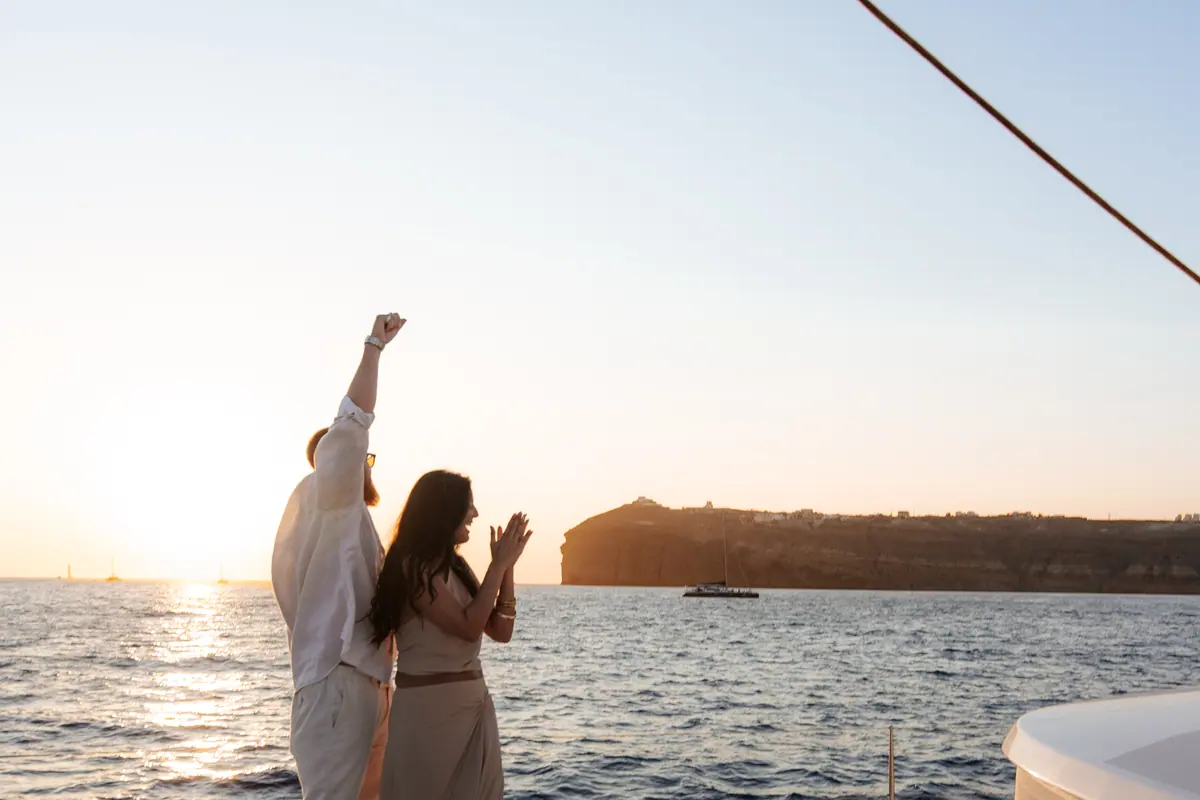
Five hours from 15:00, a small shared group, €100 each, with dinner cooked on board.
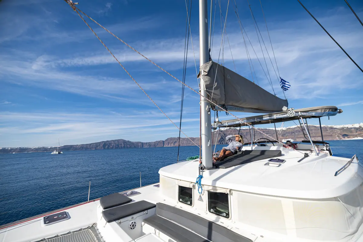
The whole catamaran, 09:30 to 14:30, €1,200 for up to eight guests then €100 each.
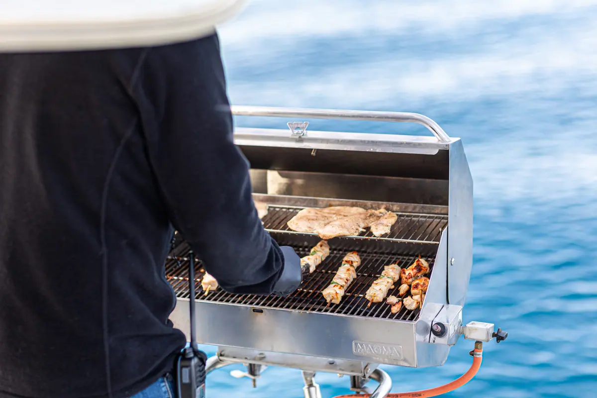
Ten hours, the whole boat, €2,400 for up to 10 guests.
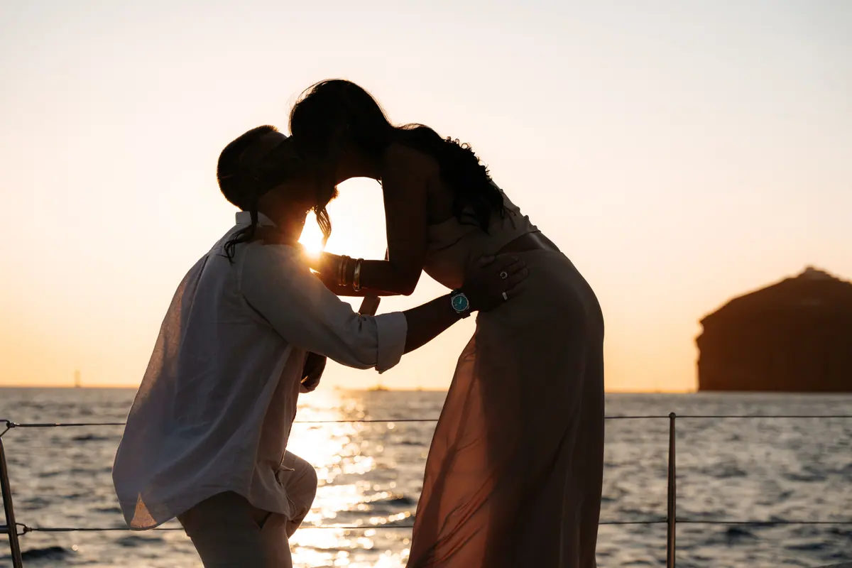
Your own catamaran into the evening. €1,200 covers eight guests, aboard.
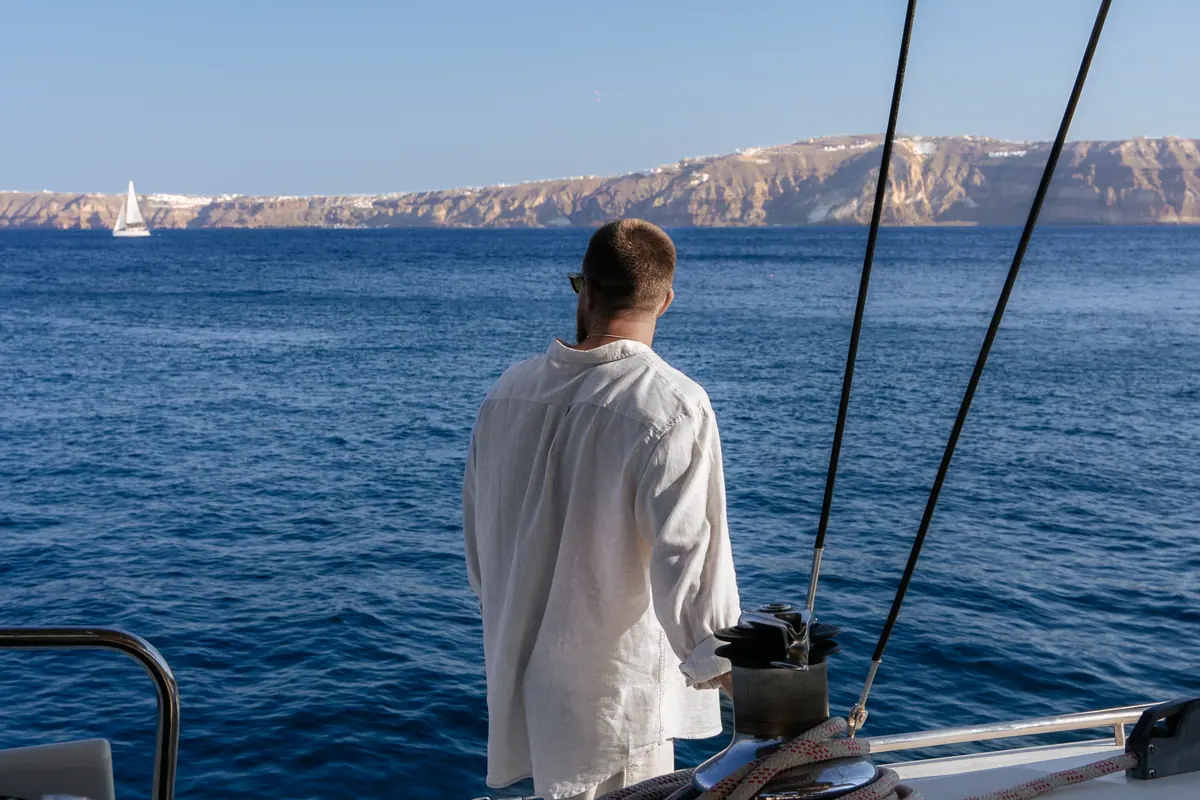
A private half-day for up to eight, planned backwards from your all-aboard time.
Tell us the date and what matters most — the hot springs, the coloured beaches, Oia at sunset — and we will tell you which cruise fits.
Call the harbour office+30 698 977 1888
The south coast first: Red Beach, White Beach and Mesa Pigadia, past Indian Rock and the Black Mountain cliffs. Then round the Akrotiri lighthouse for the volcano swim and the Fira panorama, and home through the channel between the two Kamenis — with the springs there when the sea allows. The captain sets the order on the day.
Seven of the fifteen: Red Beach, White Beach, Mesa Pigadia, the crater at Nea Kameni, the hot springs at Palea Kameni, Thirassia off its stone platforms, and the rocks near Ammoudi. A five-hour cruise swims three of them — Red Beach, White Beach and the crater — and adds the springs when the sea allows.
Because there is nothing to dock at. None of the swimming stops has a jetty or any other docking infrastructure, and no boat may put its bow on a beach without it. You reach the water from the swim platform at the stern, which is a two-step ladder down.
In practice, yes. There is no road to it, and the only walking route is the unstable cliff path from Red Beach, which is subject to closure. Almost everyone who sees White Beach sees it from a boat lying off the pale cliffs, and swims in from there.
Not on our cruises. Nea Kameni is a national geological park with an entrance fee collected in cash by rangers, and the crater circuit takes 45 to 75 minutes on loose scree with no shade or water. We anchor off its lava shore for the crater swim, but the landing is a separate trip.
The floor of the basin lies 300 to 400 m below the surface and the walls fall away almost vertically from the shoreline. That is far beyond normal anchoring depth, so ships lie off and tender passengers ashore to Fira Old Port. It is also why our hot-springs swim starts in deep water.
The ten-hour private full-day charter, which runs 10:30 to 20:30 and has time for the whole loop, time ashore at Korfos on Thirassia, an optional run north to Oia and Ammoudi, and the sunset off Akrotiri. Every five-hour cruise sails the same loop; what changes is the light it happens in.
Monthly averages run about 18.5 °C in May, 22 °C in June, 23.5 °C in July, 24.5 °C in August and 24 °C in September, dropping to about 22 °C in October. May is brisk but swimmable. The hot springs sit above ambient, at a published 30 to 35 °C.
Santorini Boat Tour - Water Taxi is a catamaran cruise and water taxi operator based in Fira, Santorini.
Updated August 2026