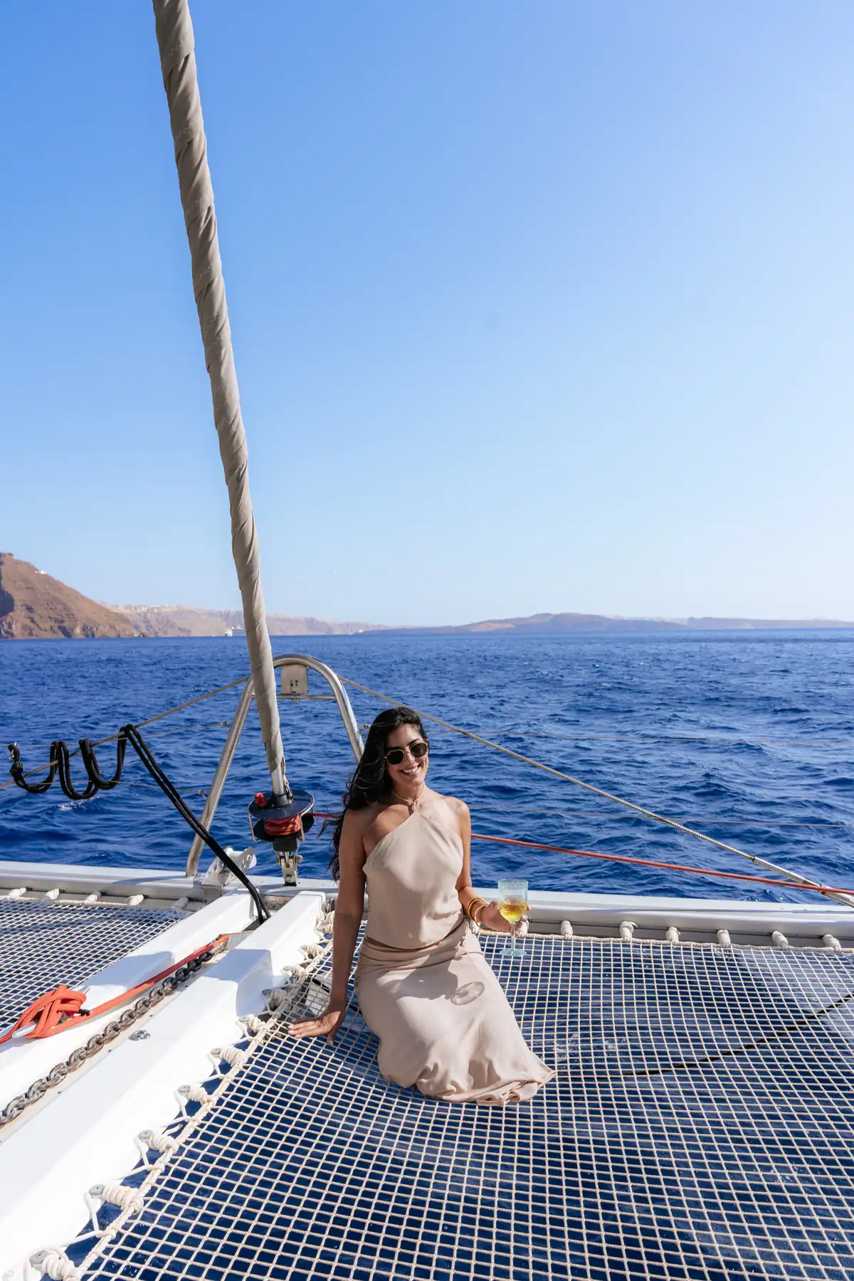
What a Santorini caldera cruise is actually sailing inside
A flooded volcanic basin about 11 km across and roughly 390 m at its deepest, ringed by three islands and holding two more. Every cruise on this site spends five hours inside it.
€100 per person · 10:00 - 15:00 · Shared seats
The Santorini caldera is a flooded volcanic basin about 11 km across and roughly 390 m deep, left when the island's centre collapsed in an eruption around 1600 BC. A caldera cruise works its edges, because that depth is far beyond anchoring for any tour boat. Three islands make the rim; two more grew inside it.
Every other page on this site describes a place you stop at. This one describes the space between them. The caldera is not a viewpoint you sail to — it is the water under the boat for the whole five hours, and the reason the day is shaped the way it is.
The caldera in numbers
Six figures explain most of what you see from the deck. Where published sources disagree, the range is given rather than the tidiest number.
| The figure | What it means from a boat | |
|---|---|---|
| Width | About 11 km across, and roughly 7 km the other way. Published figures run from 11 to 12 km. | Small enough that the far rim is in sight all day. Large enough that five hours does not get you near all of it. |
| Greatest depth | About 390 m. The measured maximum most often published is 385 m. | The water is deeper than the cliffs above it are tall. This one number decides where a boat may stop. |
| Rim height | Cliffs up to about 300 m. Fira stands near 260 m above the sea; Imerovigli, the highest village on the rim, near 350 m. | That wall is the eruption in cross-section. Dark rock at the bottom, pale ash along the top. |
| Islands on the rim | Three. Thera, which is Santorini itself, at 75.8 km²; Thirasia at 9.3 km²; Aspronisi at 0.1 km². | One island broken into three pieces, with open channels in the gaps. Boats enter and leave through those gaps. |
| Islands inside it | Two. Nea Kameni at 3.4 km² and Palea Kameni at 0.5 km². | Both grew back after the collapse. Nea Kameni is the black one. The warm springs are on Palea Kameni. |
| Age of this basin | About 3,600 years. The eruption that made it is dated around 1600 BC, though radiocarbon and archaeology disagree by roughly a century. | It is the fourth caldera on this spot. Earlier ones collapsed roughly 180,000, 70,000 and 21,000 years ago. |
| Size of that eruption | VEI 7 — the volcanic explosivity index runs 0 to 8, so this is one step below the largest. Between 28 and 41 km³ of rock, in a column 30 to 35 km high. | It is why Santorini is shaped like a letter C, and why the inside of that C is water. |
One cubic kilometre is a block of rock a kilometre long on every side. The eruption threw up somewhere between 28 and 41 of them.
You are inside the volcano, not beside it
This is the part that takes people a while. There is no cone on the horizon with a plume coming off it. The volcano is the bay.
A caldera is not a crater. A crater is a hole blown outwards at the top of a mountain. A caldera is a lid that fell inwards, once the space beneath it emptied.
So the cliff you photograph from Fira is not a coastline. It is the broken edge of a chamber roof, and Santorini, Thirasia and Aspronisi are three surviving pieces of the same ring. The sea filled the rest.
That is worth sitting with for a minute at 11:00, somewhere off the south coast, with the wall on one side and 390 m of water underneath you.
How a hole this size gets made
Five stages, in order. None of them needs a diagram, and there is a longer version in how the caldera was made.
- One island, and it was tallerBefore the eruption, the three rim islands were a single piece of land. It had collapsed and rebuilt before — this basin is the fourth on the spot, after three older ones roughly 180,000, 70,000 and 21,000 years ago.
- The tank underneath emptiedMolten rock sits in a chamber below a volcano. Around 1600 BC that chamber emptied upwards, fast. The column of ash and pumice reached 30 to 35 km, which is higher than an airliner flies.
- The roof fell inWith nothing underneath holding it, the ground above the chamber dropped. That is the caldera. Not an explosion outwards, but a floor giving way — which is why the walls are so straight and so tall.
- The sea came inThe new floor sat far below sea level, so water poured through the broken gaps in the ring and filled it. The collapse generated tsunamis published at between 35 and 150 m.
- New land started growing backFrom 197 BC onwards, eruptions built two small islands in the middle of the flooded basin. Nea Kameni and Palea Kameni are the youngest land in the eastern Mediterranean, and the most recent eruption on them was in 1950.
Why the boats work the edges
An anchor is not a hook. It only holds if it reaches the seabed and then lies along it, with a long run of chain pulling more or less sideways.
A tour boat carries chain measured in tens of metres, not hundreds. Across most of the caldera the floor is 300 to 400 m down, and the walls fall away almost vertically from the shoreline. There is simply nothing down there within reach.
So the day happens at the edges. Swim stops sit in the shallow water tight under the cliffs. At the warm springs the boat lies off Palea Kameni and you swim in, because the bay has no harbour and the water outside it is deep. None of the stops has a jetty.
The same fact governs the cruise ships. They lie at anchor out in the basin and send passengers ashore by tender rather than tying up. Sources argue about whether the very largest of them can anchor at all. The mechanism is not in dispute: deep water, steep walls, everybody arriving by small boat.
It has one happy consequence. You swim in open, deep, clear water rather than in churned-up shallows.
Aspronisi, the small white islet on the south-west of the ring, is a leftover piece of the island that existed before 1600 BC. Its base is dark lava. Above that sit thick pale layers of pumice and ash.
Read it bottom to top and you have the whole story in one cliff: black is before, white is the eruption. The two dark islands in the middle of the basin are after, and Nea Kameni is the larger of them.
The villages on the rim
From south to north on the Santorini side: Fira, the capital, about 260 m above the water. Firostefani, which is Fira continuing along the edge. Imerovigli, the highest point on the rim at about 350 m and once a lookout post. Then Oia at the northern tip.
Akrotiri sits on the southern arm, near the lighthouse the cruise rounds at midday. Across the water on Thirasia is Manolas, the rim village that looks back at all of them.
From the rim road you see one village at a time. From the water you see the order they sit in, and how far apart they really are.
Five hours inside it, €100 per person
The semi-private day cruise runs 10:00 to 15:00 with a small shared group, lunch cooked on board and a car both ways. Send us a date and we will tell you what is free.
Call the harbour office+30 698 977 1888
Common questions
What exactly is the Santorini caldera?
It is a flooded collapse basin, about 11 km across, left when the roof of a magma chamber fell in during an eruption around 1600 BC. The sea then filled it. Santorini, Thirasia and Aspronisi are the surviving rim; Nea Kameni and Palea Kameni grew inside it afterwards.
How deep is the Santorini caldera?
About 390 metres at its deepest, with the measured maximum usually published as 385 m. Most of the floor sits between 300 and 400 m down. The water is therefore deeper than the cliffs standing over it, which reach roughly 300 m at the rim.
Why do the boats never anchor in the middle of it?
Because they cannot reach the bottom. An anchor needs the seabed within a chain's length, and tour boats carry tens of metres of chain against 300 to 400 metres of water. The walls also drop almost vertically, so we work the shallow edges instead.
Can you see the whole caldera on a five-hour cruise?
You see all of it and land on none of it. A five-hour cruise covers the south coast, the crater swim at the volcanic islets, the springs when the sea allows, and the panorama under Fira. Thirassia and the far northern rim need the ten-hour private charter.
Is the volcano still active?
Yes, but quiet. Nine eruptions since 197 BC built the two islands at the centre, and the most recent was in 1950. The volcano is monitored continuously by the Greek institute that studies it. Nothing about a day on the water depends on that fact.
Is the water inside the caldera rough?
Usually less rough than the sea outside it. The rim stands up to 300 m high and blocks a great deal of the summer meltemi, so on a windy day the basin is often the calm option. The captain still decides on the morning whether it is safe.
Santorini Boat Tour - Water Taxi is a catamaran cruise and water taxi operator based in Fira, Santorini.
Updated August 2026